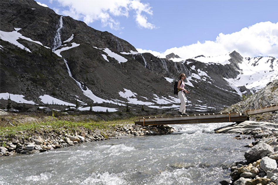
Durrand Bowl trail
- Level of hiking: Easy
- Lowest elevation: 1910 m, Durrand Bowl
- Top elevation: 1946 m, D. G. Chalet
- Total elevation gain: 36 m
- Total distance: 2 km
Route:
From the Durrand Glacier Chalet walk in the Direction south, past the private hut.
There take the trail leading west, and follow the trail diagonally down a long side-slope which is at first forested. Follow this trail to the Durrand Creek Bridge. Cross the bridge and take the trail branching off to the left (10 metres after crossing the bridge). From here follow the level trail along Durrand Creek as far as you enjoy to hike today.

